Final theses' topics (BSc and MSc)
On this page, we list our master and bachelor thesis topics as published at the first Marketplace of Research in May 2026.
You may download the descriptions in pdf format from this page by clicking on the picture.
If you are interested in pursuing a topic further, please contact the supervisor (listed at the bottom of the pdf) via email.
?
Auf dieser Seite ver?ffentlichen wir Master und Bachelor-Themen so wie auf dem ersten Marktplatz der Forschung im Mai 2026 vorgestellt.
Sie k?nnen die Beschreibungen im A4 pdf Format durch Klicken auf das Bild herunterladen.
Wenn Sie sich für ein Thema interessieren kontaktieren Sie bitte die Betreuungsperson (angegeben unten auf der Leiste im pdf) per email.?
?
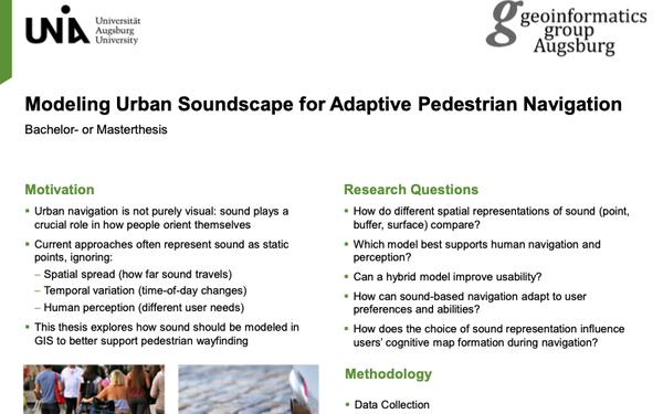
Modeling Urban Soundscape for Adaptive Pedestrian Navigation
Urban navigation is not purely visual: sound plays a crucial role in how people orient themselves. This thesis explores how sound should be modeled in GIS to better support pedestrian wayfinding.
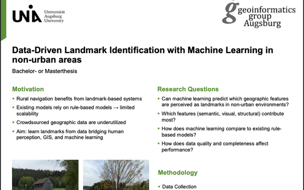
Data-Driven Landmark Identification with Machine Learning in non-urban areas
Rural navigation benefits from landmark-based systesm. This thesis investigates whether machine learning can predict which geographic features are perceived as landmarks in non-urban environments.
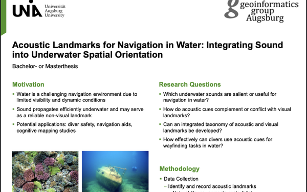
Acoustic Landmarks for Navigation in Water: Integrating Sound into Underwater Spatial Orientation
Water is a challenging navigation environment due to limited visibility and dynamic conditions. This thesis investigates which underwater sounds are salient or useful for navigation in water and how acoustic cues can complement visual landmarks.
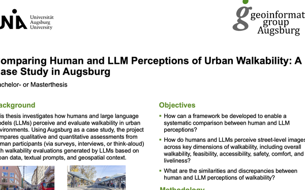
Comparing Human and LLM Perceptions of Urban Walkability: A Case Study in Augsburg
This thesis investigates how humans and large language models (LLMs) perceive and evaluate walkability. The idea is to compares qualitative and quantitative assessments from human participants (via surveys, interviews, or think-aloud) with walkability evaluations generated by LLMs.
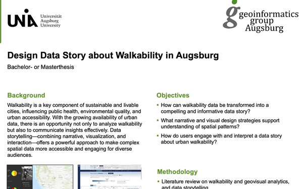
Design Data Story about Walkability in Augsburg
Walkability is a key component of sustainable and livable cities. This thesis explores how walkability data can be transformed into a informative data story and how users engage with and interpret a data story about urban walkability.
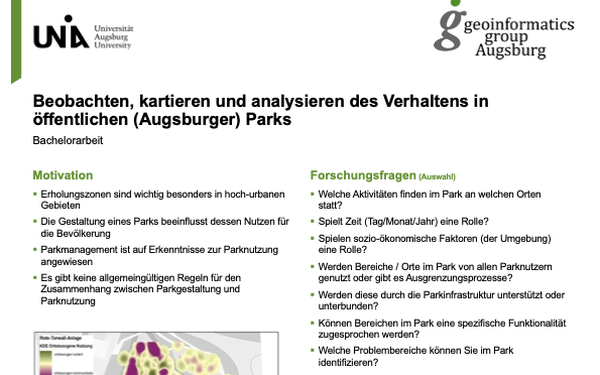
Beobachten, kartieren und analysieren des Verhaltens in ?ffentlichen (Augsburger) Parks
Erholungszonen sind wichtig besonders in hoch-urbanen Gebieten. In dieser Arbeit wird unterscht welche Aktivit?ten im Park an welchen Orten stattfinden und welche Parameter dabei eine Rolle spielen
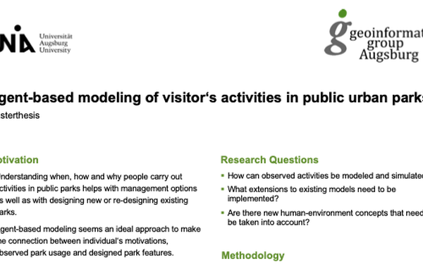
Agent-based modeling of visitor‘s activities in public urban parks
Understanding when, how and why people carry out activities in public parks helps with management options as well as with designing new or re-designing existing parks. This thesis investigates how observed activities can be modeled and simulated and what extensions to existing models need to be implemented.
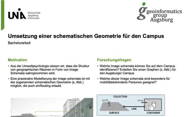
Umsetzung einer schematischen Geometrie für den Campus
Aus der Umweltpsychologie wissen wir, dass die Struktur von geographischen R?umen in Form von Image Schemata wahrgenommen wird. In dieser Arbeit wird untersucht welche Image schemata auf dem Campus identifiziert werden k?nnen und welche sind besonders für mobilit?tsbehinderte Personen geeignet.