Professor for Applied Geoinformatics
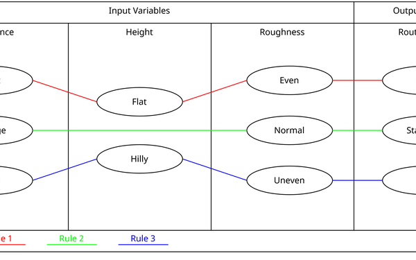
Welcome to the pages of Applied Geoinformatics (Prof. Dr. Jukka M. Krisp). Research areas of Geoinformatics? include the investigation and development of computational methods for visual spatial data analysis – that comprises data acquisition & storage, processing, enrichment and extended exploratory visualization & cartographic communication. Current research deals with concepts of Location-Based Services (LBSs), Geographic Visualization, Visual Analytics, Spatial Modeling, GIS Applications and Augmented/Virtual Reality.
?
?
Applied Geoinformatics
News
March 19, 2026
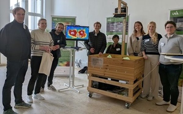
Applied Geoinformatics active & successful at the GI-Runde München 2026 - check - https://www.rundertischgis.de/veranstaltungen/muenchner-gi-runde-2026/
Applied Geoinformatics active & successful at the GI-Runde München 2026 - check - https://www.rundertischgis.de/veranstaltungen/muenchner-gi-runde-2026/
Read more
March 13, 2026
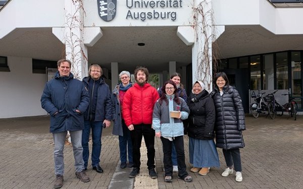
Teaching at the Tartu University - ERASMUS+ STA exchange between Applied Geoinformatics & the University Tartu Mobility Lab 2026
Teaching at the Tartu University - ERASMUS+ STA exchange between Applied Geoinformatics & the University Tartu Mobility Lab 2026
Read more
Feb. 11, 2026
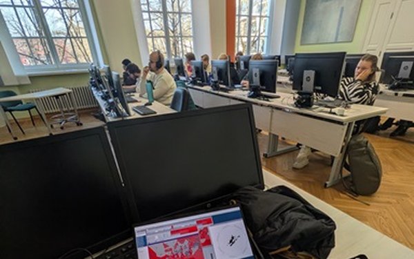
Guest course 2026 on Mobile & Location Based Services (MLBS) by Prof. Anto Aasa (Tartu University)
Guest course 2026 on Mobile & Location Based Services (MLBS) by Prof. Anto Aasa (Tartu University)
Read more
Jan. 28, 2026
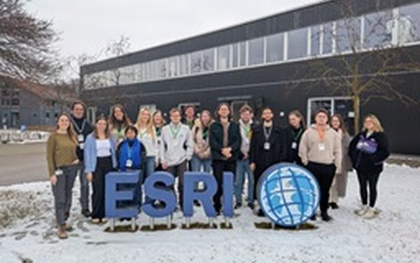
Gel?ndeseminar @ ESRI 2026 - visit of Prof Krisp & selected students to ESRI Germany
Gel?ndeseminar @ ESRI 2026 - visit of Prof Krisp & selected students to ESRI Germany
Read more
Dec. 2, 2025
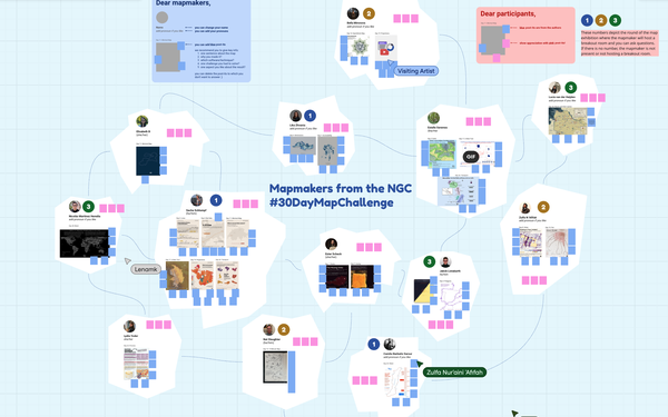
Zulfa Afifah Organised the NGC #30DayMapChallenge Wrap-Up Meeting
She coordinated and led the wrap-up meeting for the Next Generation Cartographers (NGC), concluding the #30DayMapChallenge with shared reflections and outcomes.
Read more
Dec. 1, 2025
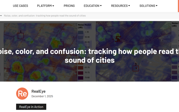
Collaborative Study by ???????Zulfa Afifah, Merve Keskin, Arzu ??ltekin, and Jukka Krisp?Featured on RealEye
RealEye.io highlighted their collaborative publication in a blog post, which presented an exploratory study using webcam-based eye-tracking to investigate users’ awareness of uncertainty in noise models and noise maps. Read the blog post here:?https://www.realeye.io/blog/post/noise-color-and-confusion-tracking-how-people-read-the-sound-of-cities
Read more
Nov. 21, 2025
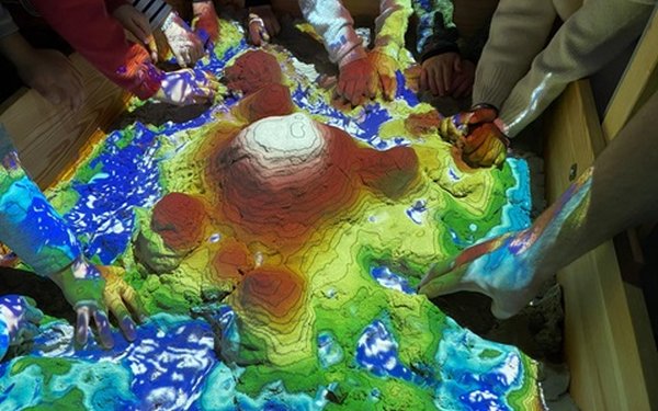
Augmented Reality Sandbox (ARS) goes Kindergarden - visit of applied geoinformatics @KiGa Munich
Augmented Reality Sandbox (ARS) goes Kindergarden - visit of applied geoinformatics @KiGa Munich
Read more
Nov. 15, 2025
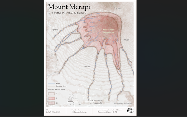
Zulfa Afifah Mapped Mount Merapi for #30DayMapChallenge Day 15
She contributed a thematic map of Mount Merapi for Day 15 of the #30DayMapChallenge in collaboration with NGC, interpreting the “Fire” prompt through volcanic activity.
Read more
Nov. 8, 2025
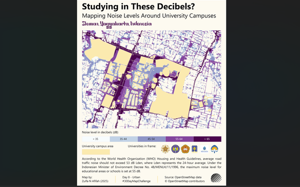
Zulfa Afifah Joined NGC for #30DayMapChallenge Day 8
She collaborated with the Next Generation Cartographers (NGC) to map urban noise levels for Day 8 of the #30DayMapChallenge, exploring the theme “Studying in These Decibels?”
?

