Neuigkeiten
23 Minutes to Survive: A Digital Race Against the Tsunami-Wave in the beach of Atacames, Ecuador

Seasonal Agricultural Vulnerability: A Dynamic Reality in Semi-Arid Farming
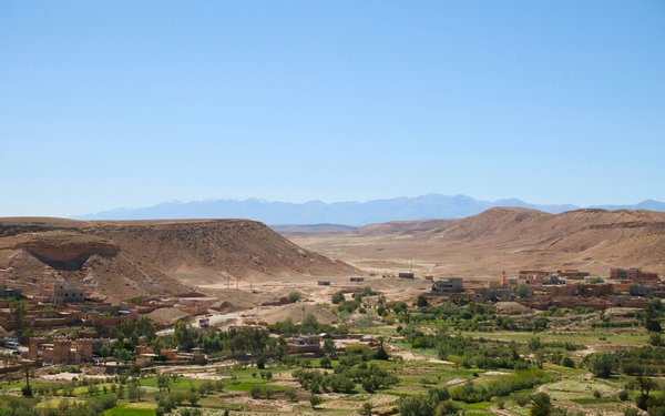
Twenty years of climate and land use changes in Morocco

New research scientist at the Research Group

Online Webinar: Smarter Agriculture in Africa
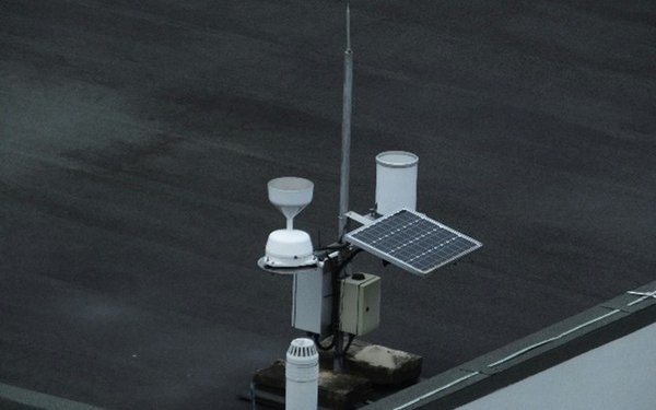
DWD Temperature Explorer: An Open-Access R Shiny Dashboard for Visualizing Historical Climate Data Across Germany
The Chair of Climate Resilience of Cultural Ecosystems at the Center for Climate Resilience Receives Google Grant to Advance Air Pollution Modelling with Satellite Embeddings

Sentinel-5P Coordinate Explorer: A Web Application for Visualizing Monthly Air Pollution Around Any Location Using Google Earth Engine

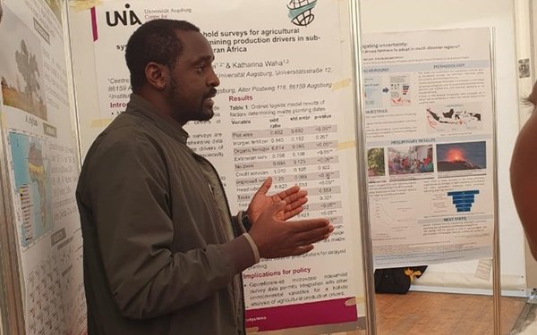
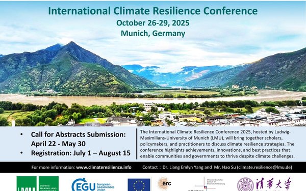
International Climate Resilience Conference (iCARE) 2025
The research group for Climate Resilience of Human-made Ecosystems made a significant contribution to the International Climate Resilience Conference (iCARE) 2025. Dr. César ?lvarez and Dr. Harison Kipkulei presented important research findings on the effects of climate change and strategies for strengthening resilience among smallholder farmers in the Global South.
Photo @ Yao Gao, Hao Su
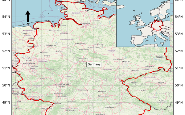
Study Area Map Generator: A Web-Based Shiny Application for Generating Country-Level Study Area Maps for Scientific Publications
Do you need a study area map for your article or report but don’t want to spend time creating this classic figure from scratch? With our free online application, you can generate your study area map quickly and easily in just a few minutes by visiting https://cesarivanalvarez.shinyapps.io/country-map/. This tool has been published as a scientific article:?https://shorturl.at/JbXe6
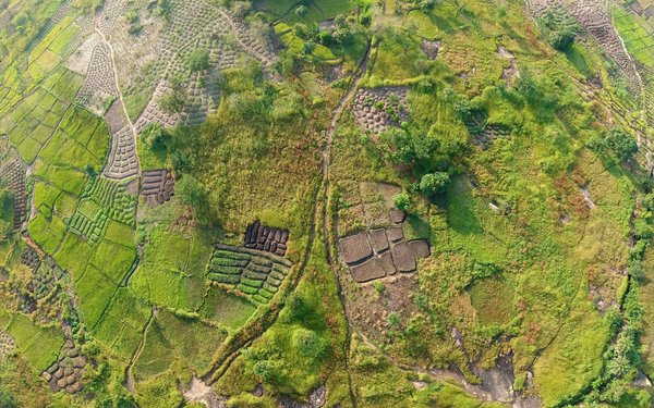
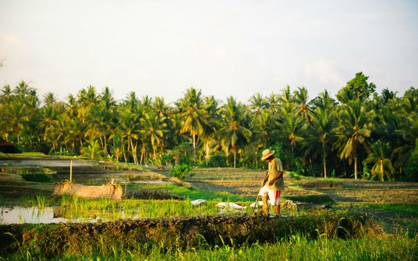
The role of multiple cropping in sustainable and resilient land use and food production
Read our latest research on multiple cropping, published with Springer Nature in Communications Earth & Environment.
(Photo Credit: Daniel Stiel, unsplash)
Reconciling land system changes with planetary health, Tropentag 2025
Dr. Harison Kipkulei attended the Tropentag 2025 Conference in Bonn, Germany, from 10–12 September.
(Photo Credit: Irene Kadzere)